The bridge poses threats to Chennai fisherfolk, river ecosystems, and the city’s climate as a whole, say environment activists.
Aditya Khatwani
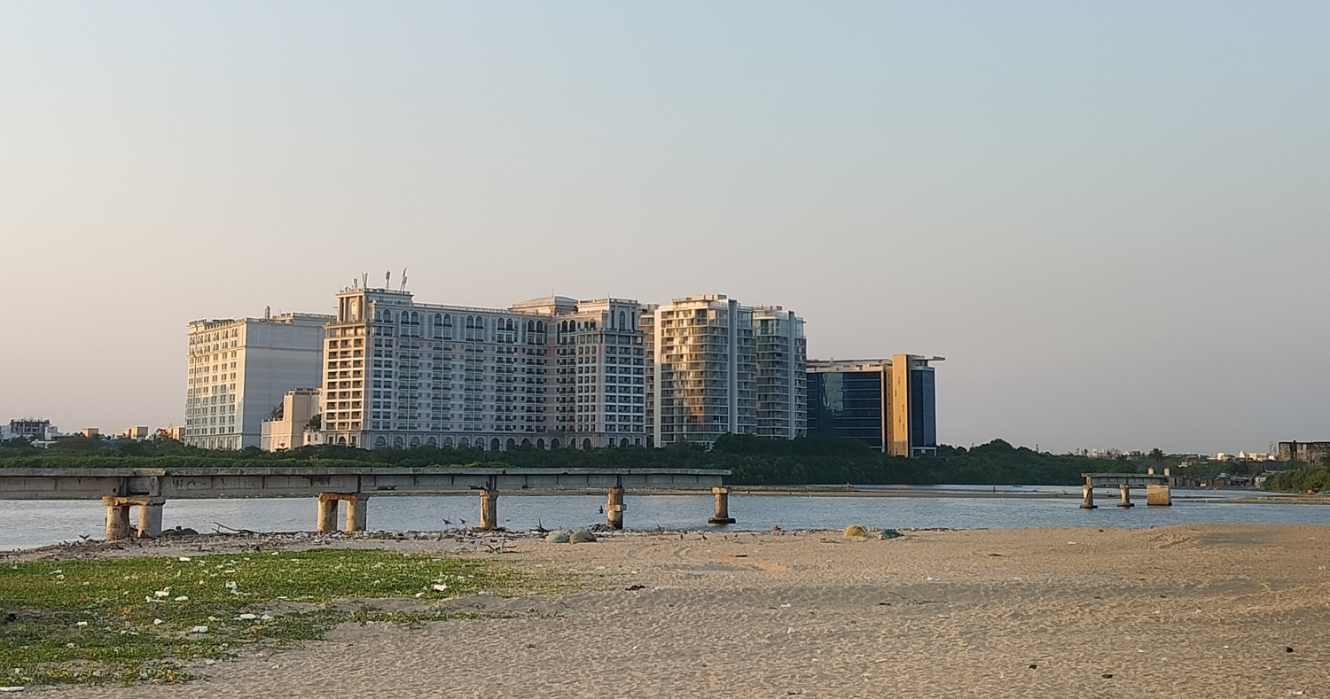
CHENNAI: The feasibility of building a 600-metre suspension bridge connecting Besant Nagar and Marina Loop Road is being studied by the Greater Chennai Corporation (GCC). Fisherfolk living near the bank of the Adyar creek and environment activists are opposing the move.
The GCC revived the plan for building the bridge when it got a directive from the Madras High Court in 2020 to conduct a pre-feasibility study. The study had said that the construction of the bride was feasible if it complies with Coast Regulation Zone norms and if encroachments are removed.
On January 29 this year, the GCC had floated a tender for a study on implementing the project.
“It is impossible without having a larger impact on the coast.” Said Raju Koki (26), a wetland conservationist. According to him, the bridge will quicken coastal erosion. He highlighted the lack of shore space, pointing out that Chennai has no beaches North of Marina Beach, and that further reduction of shore space in Chennai will have severe consequences.
He said that one effect will be saline intrusion, due to wet sand decreasing. Wet sand ensures that seawater does not enter the ground and contaminate the groundwater. “Chennai already faces this intrusion because they have inadequate shores. An IIT Madras study states that the city has salinity intrusion for at least five kilometres.”
“Besant Nagar is the least ecologically damaged coastal common in Chennai. These are required in Chennai as it is a city prone to floods.” Coastal commons are natural spaces which are connected to or encompass a water body, and can be used by every person in a community.
He said that the construction would also cause long-term harm to the ecosystem in the estuary, as it is a turtle nesting site.
The residents of Urur Kuppam and Olcott Kuppam in Besant Nagar and Srinivasapuram near Foreshore Estate fear losing their houses and livelihoods. “Where will we go if they take away our houses? We need to live here to do fishing. We don’t know any other job.” said Soundarya, 58, a resident of Urur Kuppam.
“The government views their dwelling units as encroachments under the lens of development.” said Koki. Settlements such as theirs are protected under the Coastal Regulation Zone Notification under the Environment Protection Act (1986). However, the Coastal Zone Management Plan (2019) released by the Tamil Nadu government has been called incomplete by the Tamil Nadu Fisher Village Panchayats and Associations, as it did not register the fisher livelihood spaces for 12 coastal districts, including Urur Kuppam.

When the plan for the bridge was initially proposed in 2009, 14 fishing villages had voiced opposition, causing it to be withdrawn. This time as well, the fisherfolk plan to protest. The residents allege that they have not gotten a response after approaching the government. “We have gone to the fisheries department, told the collected. Nobody has responded. We have no choice but to protest.” Said Varini, another resident.
The GCC has stated that the plan is currently in a very preliminary phase. “We do not have any alignment or anything. We have just given consultancy work for preparing a detailed feasibility report.” said Korupasamythe executive engineer of the bridges department at GCC.
The detailed feasibility report (DFR) includes multiple studies. A DFR reveals the impacts and viability of a project, including the demand for it, a legal analysis, and the time, money, and technology required to implement it.
The DFR for the bridge will include a study looking at how much reduction in traffic the bridge would cause, an environmental impact assessment, and a social impact assessment. B. Shankaravelu, the superintending engineer of the bridges department said that if the DFR indicates that the bridge will harm the environment, it will not be built.
Reducing air pollution and road congestion are the reasons given by the GCC for the plan. “There is a 2km detour from Light House to Besant Nagar. If this bridge will come, travel time and pollution will reduce.” said Korupasamy.
Koki alleged that the bridge is being made primarily to benefit judges and politicians, who have houses near the East Coast Road, and thus need to cross the river.
The study is not being done by the GCC. It will be conducted by Infrastructure Design Consultants Pvt. Ltd., a private engineering design and consultancy company.
The construction of the bridge would have to be extensively studied, said Koki. “Where will the pillars come? And new roads will have to be built.” He expressed concern regarding coastal erosion, and said that a climate impact study will also be required.
“Four months ago, coastal erosion was taking away homes in Srinivasapuram. So how will they build a bridge in an eroding space. Instead of stopping coastal erosion, they will aggravate it.” he said.
The bridge is in an early stage of planning, and if approved, will take multiple years to complete.